Blogs
Generating PMTiles From Vector Data On Windows By vtpk2mbtiles and PMTiles CLI
Introduction Our scope in this article, is to create PMTiles from vector data on windows system without any complicated system dependencies. We discussed in a previous article, Creating...
Read more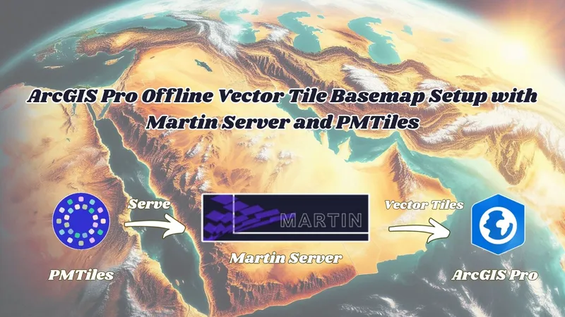
Martin Server + PMTiles: Offline Vector Tile Maps in ArcGIS Pro
Introduction We discussed in a previous article the workflow of getting offline basemap into ArcGIS Pro By TileServer GL Through Node.js https://blogs.tabaqat.net/en/getting-offline-...
Read more
Getting Offline Vector Tiles Basemap Into ArcGIS Pro From Local PMTiles : Serving PMTiles By TileServer GL On Windows Through Node.js
Introduction We discussed in previous article the process of generating PMTiles file either from Vector Data : https://blogs.tabaqat.net/en/generating-pmtiles-from-vector-geospatial-data-usi...
Read more
Styling and Serving PMTiles On Linux (Ubuntu)
Introduction We discussed in a previous article the process of generating PMTiles file either from Vector Data : https://blogs.tabaqat.net/en/generating-pmtiles-from-vector-geospatial-data-usi...
Read more
Streaming GeoParquet Files From Source Cooperative Into ArcGIS Pro Via Source URL
Introduction Resuming Source Cooperative and Cloud Native Geospatial Series , We discussed in a previous article how to upload GeoParquet file onto Source Cooperative Platform https://tabaqat-w...
Read more
Converting Esri File Geodatabase to Cloud Native GeoParquet Using GeoPandas And PyArrow Python Packages
Introduction In a previous article we presented how to import GeoParquet Cloud Native File into ArcGIS Pro As FGDB using three geospatial python packages (geopandas , pyarrow and pyogrio) to conve...
Read more
Converting GeoParquet to Esri File Geodatabase Using Geopandas , PyArrow And PyOgrio Python Packages
Introduction Before we start outlining the workflow of importing GeoParquet File into ArcGIS Pro, We need to know why we have to use GeoParquet File for Spatial Data Integration. GeoParquet is ra...
Read more
Generating PMTiles From Vector Geospatial Data Using Tippecanoe And go-pmtiles Tools
Introduction We discussed in a previous article Generating PMTiles from Raster Satellite Image produced by Tabaqat Satellite Downloader Tool https://tabaqat-wagtail.tabaqat.net/en/resources/blog...
Read more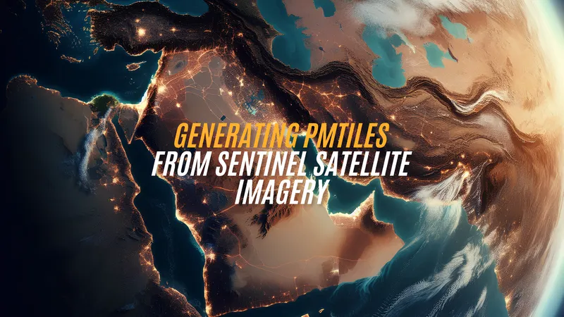
Generating PMTiles From Sentinel Satellite Imagery Produced By Tabaqat Satellite Tool
Introduction We talked in a previous article about Cloud Native Geospatial (CNG) Technology which recently made a revolution in GIS world by its incomparable features and capabilities. https://...
Read more
Serverless GIS: Effortlessly Sharing GIS Data Without the Need for a Server
The future of GIS and Geoinformatics is moving to the cloud . Geospatial data, some of the largest and most important data today, now require cloud-based methods to handle the huge amounts stor...
Read more