Blogs
Downloading Sentinel Data Through Tabaqat Satellite Data Downloader
Introduction This tutorial will guide you on using the Tabaqat Satellite Data Downloader Tool to download sentinel satellite imagery for any area in Saudi Arabia in a specified time range. We&#x...
Read more
Boosting ArcGIS Server Performance with Tabaqat MapProxy
Introduction This guide explores how to use Tabaqat MapProxy to improve the performance of your ArcGIS Server, making map services faster and more efficient. Technical Guide Step 1: ...
Read more
Geocoding CSV Files With Tabaqat CSV Geocoder And Visualizing In ArcGIS Pro
Introduction This tutorial will guide you on using the Tabaqat CSV Geocoder Tool to geocode CSV Files for Saudi Arabia Using Geocoding IDs of the Kingdom. We'll show you how to configure yaml...
Read more
Tabaqat GeoApps for Geospatial and Business Intelligence Data Integration
Tabaqat GeoApps offers a suite of applications designed to facilitate the collection and management of geospatial and business data. ArcGIS Server Extractor : Download ArcGIS Server layer da...
Read more
Uploading GeoParquet Files onto Source Cooperative Platform
Learn how to effortlessly share and collaborate on spatial data by uploading GeoParquet files to the Source Cooperative Platform. This article provides a step-by-step guide for seamless integration...
Read more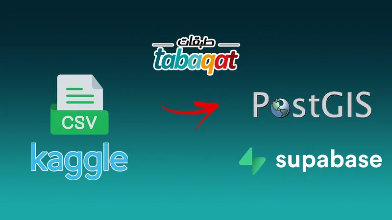
Integrating Kaggle's Geospatial Data with PostGIS
Introduction In this article, we'll walk through the process of acquiring real geographical data from Kaggle, loading it into QGIS as a CSV layer, and seamlessly integrating it with PostGIS f...
Read more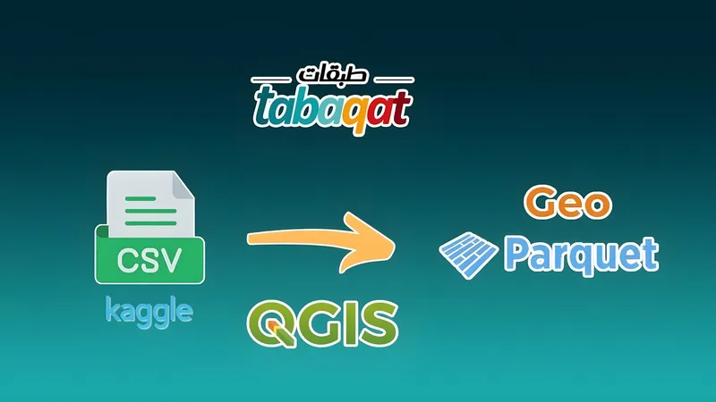
Converting Kaggle CSV Files into GeoParquet Files Using QGIS
Introduction This guide explains how to convert CSV files from Kaggle into GeoParquet format using QGIS, making it easier to work with spatial data in modern workflows. GeoParquet geospati...
Read more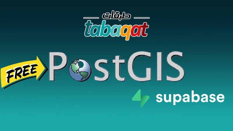
Getting A Free PostGIS Database In The Cloud
Introduction Are you looking to set up a Postgres database for your project without breaking the bank? Look no further than SupaBase! In this guide, I'll walk you through the steps to g...
Read more