Introduction
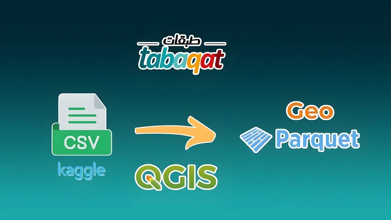
This guide explains how to convert CSV files from Kaggle into GeoParquet format using QGIS, making it easier to work with spatial data in modern workflows.
GeoParquet geospatial Data Format is powerful column-oriented data format, built from the ground up to as a modern alternative to CSV files . GeoParquet is an incubating Open Geospatial Consortium (OGC) standard that adds interoperable geospatial types (Point, Line, Polygon) to Parquet.
Why GeoParquet ?
Standard Geospatial Data in Parquet Following GeoParquet's structure enables interoperability between any system that reads or writes spatial data in Parquet
Columnar Data for Geo Data science workflows benefit from columnar data formats, and geospatial analysis can tap into its innovations
Cloud Data Warehouse Interoperability Snowflake, BigQuery, RedShift, DataBricks can all work together seamlessly with the same geospatial data format
So by Converting CSV Files retrieved from Kaggle Platform to Geo Parquet, We break up the World of Geospatial Data by using this modern geospatial data format.
Technical Guide
1. First, Sign up to Kaggle Platform to enable you to download CSV files existing on the Platform.
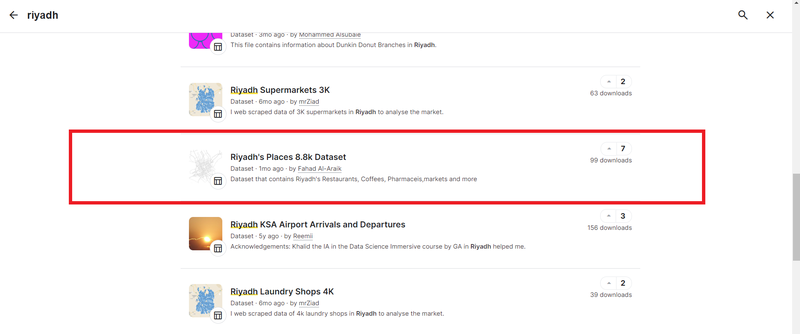
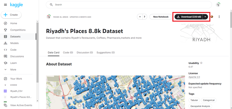
2. Navigate to Kaggle Datasets to Search for the Data required for your project and the area of interest, which is like : “ Places in Riyadh Region in Saudi Arabia ”
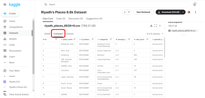
3. Before downloading the data, you can explore it via the Compact mode of table
4. Download CSV File of Dataset, then move to the next stage of Converting CSV to GeoParquet
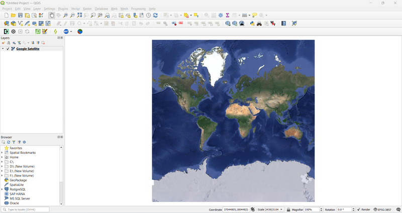
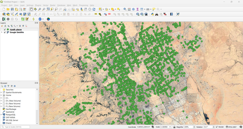
5. Open QGIS Desktop and Add Basemap like : Google Satellite basemap or basemap From tabaqat basemaps
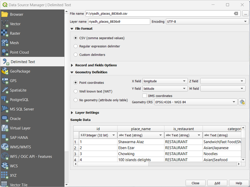
6. Open the CSV file in QGIS as Delimited text layer, the longitude and latitude fields will be identified automatically
7. A delimited text layer was added Successfully.
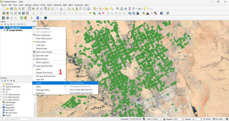
8. To convert this Comma delimited text layer to GeoParquet Format Manually. Export this layer and Choose GeoParquet from Data formats existing in drop down menu.
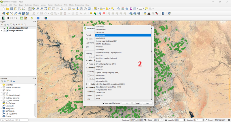
9. Then, Choose GeoParquet Format.
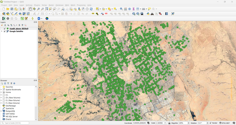
Finally, GeoParquet file was exported Successfully.
Conclusion
Now, You can use this GeoParquet file for storing, processing, and analyzing geospatial data, catering to the needs of diverse applications and industries, including environmental monitoring, urban planning, agriculture, logistics, and more.