- The future of GIS and Geoinformatics is moving to the cloud. Geospatial data, some of the largest and most important data today, now require cloud-based methods to handle the huge amounts stored on commercial cloud platforms.
- Cloud Native Geospatial seeks to move away from the traditional 'Download' model by migrating data storage, sharing, and computation to the cloud.
- This shift leverages cloud infrastructure to enhance collaboration, enable data-driven insights, foster scientific advancements, increase transparency, and improve reproducibility.
- Cloud-native goes beyond simply storing data in the cloud; it means enabling access to data without relying on local storage, allowing anyone with an internet connection to perform the same analysis.
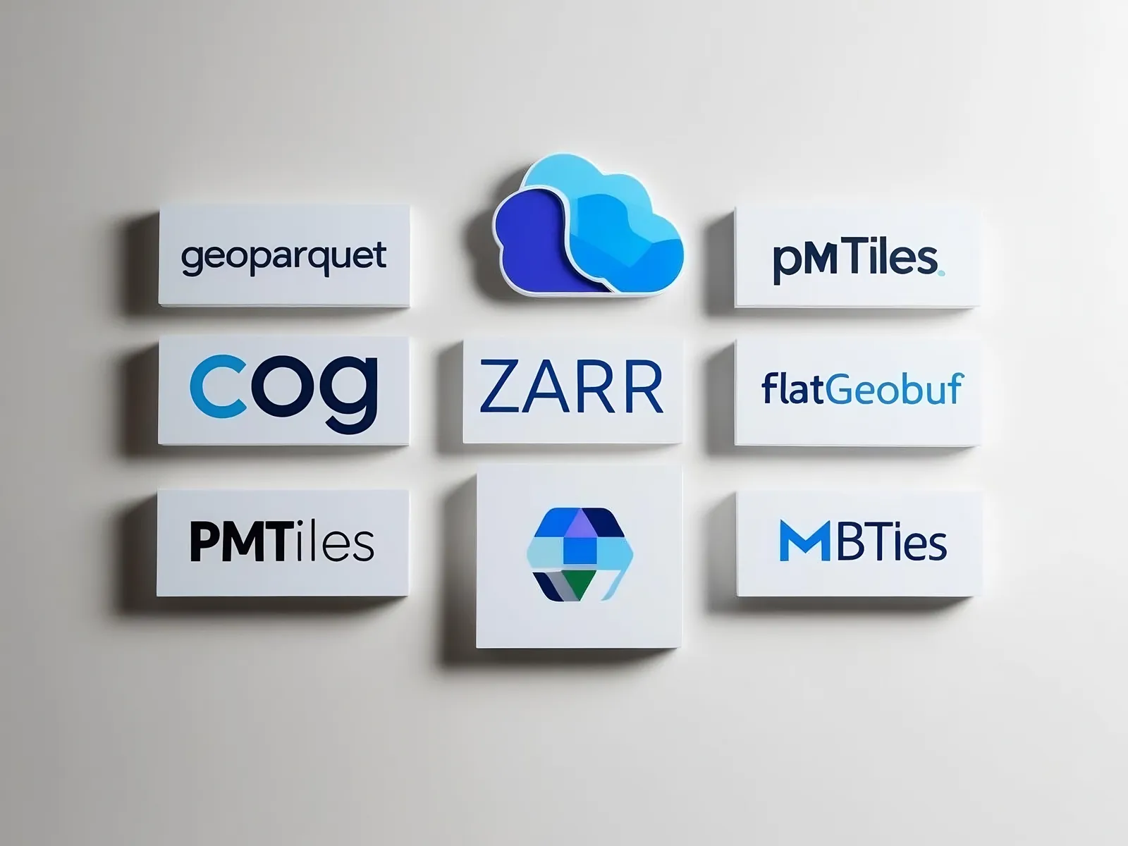
- New geospatial data formats are designed to work directly in the cloud, making it easy to search, query, and analyze them without downloading to a local computer. A growing number of open-source and freely available tools are being developed to support this shift to cloud-native geospatial workflows.
- There are two key approaches to cloud-native: storing data alongside computing resources and using cloud-optimized formats. Both methods reduce the need for extensive data transfers across networks, improving efficiency.
- Cloud-native geospatial paves the way for an automated future, facilitating automated data collection, analysis, parsing of large volumes of new data, and the automatic delivery of monitoring alerts, reports, and maps.
- There is much work ahead to make Cloud Native Geospatial a reality, but a diverse community of organizations and individuals are working together to make it happen.
- Stay tuned for more in this series, as we dive deeper into how Cloud Native Geospatial works and explore some leading cloud native geospatial architectures running right now.